CSAS News: April 2010
Satellite overflight of csas study area brings gaggle of scientists
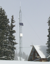
During the first week of April, scientists from the Cold Regions Research & Engineering Laboratory (CRREL), University of Utah's Snow Optics Laboratory, Boise State University's Center for Geophysical Investigation of the Shallow Subsurface (CGISS), and Western Water Assessment converged at the Center for Snow and Avalanche Studies to take extensive measurements of the snowpack in Senator Beck Basin. The data collected onsite is being correlated with the data collected by the satellite overflight. Look for results to be presented and published in the coming year.
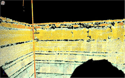
LIDAR image of pit face provided by Eli Deeb of Cold Regions Research and Engineeringn Laboratory (CRREL). LIDAR (Light Detection And Ranging) is an optical remote sensing technology that measures properties of scattered light to find range and/or other information of a distant target. © 2010 CRREL.
Using the LIDAR machine to gather the images above and below. © 2010 CRREL.
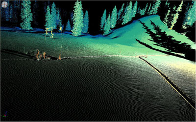
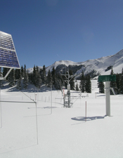
LIDAR image of Swamp Angel Study Plot. © 2010 CRREL.
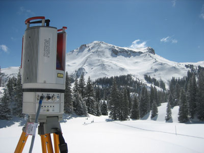
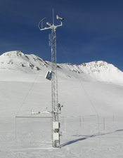
LIDAR equipment at Swamp Angel Study Plot. © 2010 CRREL.
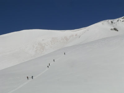
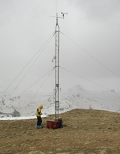
Scientific team heads up to Senator Beck Study Plot to take measurements.
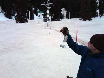
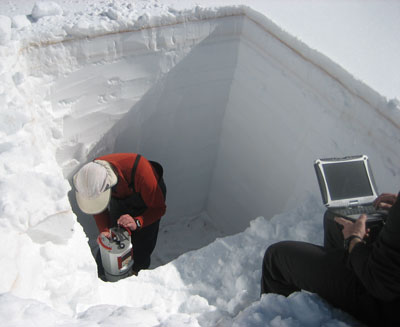
Andrew Temple measures snow density from pit at Swamp Angel Study Plot.