CSAS News: October 2010
CRREL Returns to Senator Beck Basin for "off Snow" LIDAR Survey
Following a small pilot study in spring 2010 (see April "Satellite overflight of CSAS study area brings gaggle of scientists"), the Army's Cold Regions Research and Engineering Laboratory - aka CRREL - began a new LiDAR (light distance and ranging) research program in Senator Beck Basin in early September, 2010. Researcher Eli Deeb, from the ERDC-CRREL Snow Hydrology group conducted "snow off" surveys of the snow-free terrain surrounding the Senator Beck and Swamp Angel study plots. Eli was assisted by Jeff Deems, from Western Water Assessment and the National Snow and Ice Data Center, and CSAS staff. The CRREL team will return to CSAS' Senator Beck Basin during the winter of 2010/2011 for "snow on" surveys of the same terrain, then comparing those to the "snow off" surveys to generate very high resolution maps of snowcover at those sites, and the spatial variation of that snowcover.
Photos and LIDAR images provided by Eli Deeb, © 2010 CRREL:
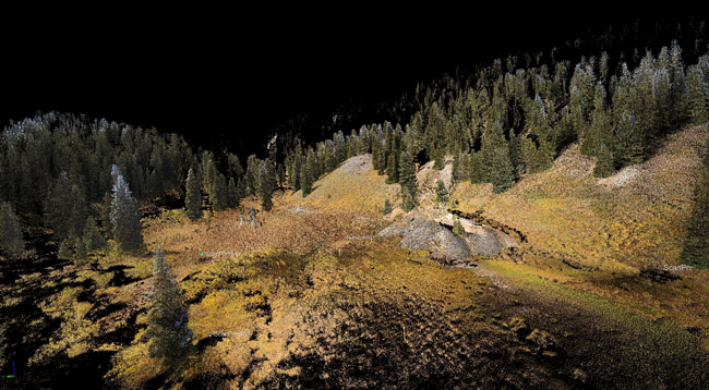
Colorized Point Cloud LIDAR image of Swamp Angel Study Plot. LIDAR (Light Detection And Ranging) is an optical remote sensing technology that measures properties of scattered light to find range and/or other information of a distant target. © 2010 CRREL
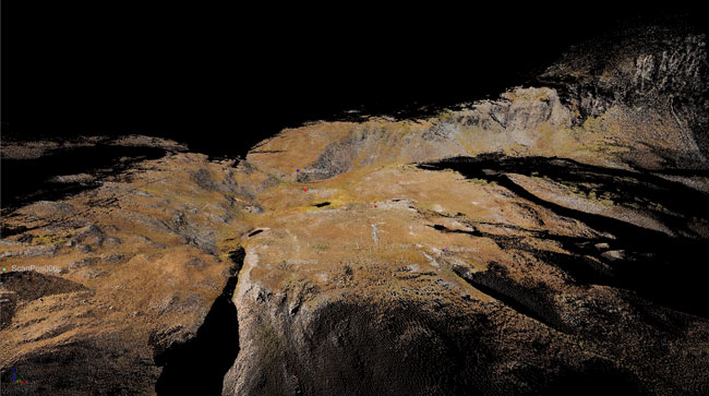
Colorized Point Cloud LIDAR image of Senator Beck Basin, September 2010. © 2010 CRREL
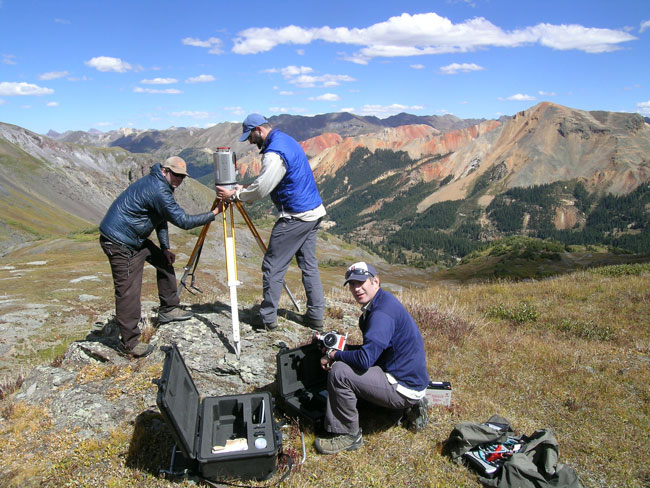
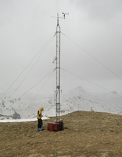
Eli Deeb (CRREL) retrieves equipment from case
while Andrew Temple (CSAS) and Jeff Deems (NSIDC and Western Water Assessment) set up LIDAR survey station.
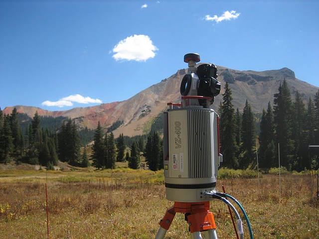
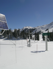
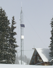
LIDAR equipment at Swamp Angel Study Plot, September 2010. © 2010 CRREL
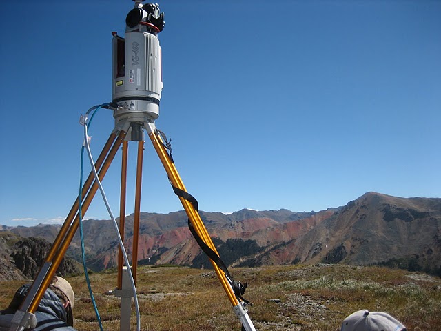
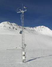
LIDAR equipment at Senator Beck Basin Study Plot, September 2010. © 2010 CRREL
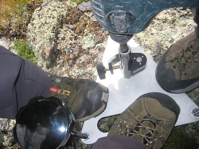
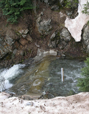
Installing anchors for LIDAR equipment. © 2010 CRREL
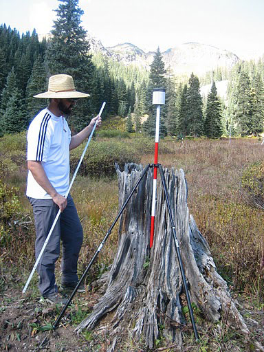
Jeff Deems places reflector for LIDAR survey at Swamp Angel Study Plot. © 2010 CRREL