Center for Snow and Avalanche Studies

Swamp Angel Study Site
Swamp Angel Study Plot (subalpine)

Senator Beck Study Site
Senator Beck Study Plot (alpine)

Putney Study Site
Putney Study Plot (summit)

Senator Beck Basin Stream Gauge
Basin Stream Gauge

St Paul Basestation
St. Paul RF Base Station

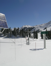
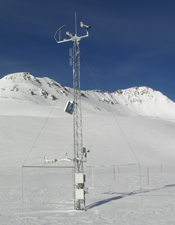
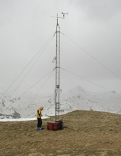
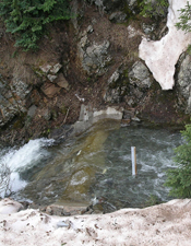
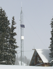
The Center for Snow & Avalanche Studies serves the mountain science community and regional resource managers by hosting & conducting interdisciplinary research and conducting integrative 24/7/365 monitoring that captures weather, snowpack, radiation, soils, plant community and hydrologic signals of regional climate trends.

Become a Friend of CSAS:


Follow snowstudies on Twitter

Find us on Facebook

ArcGIS Files for Senator Beck Basin Study Area

We have created three GIS data layers showing

  1. Senator Beck Basin Study Area watershed boundary,
  2. Study plot locations, and
  3. Transect end points for the baseline vegetation monitoring program.

Five additional GIS data groups are compiled from publicly available data. Those groups include:

  1. 10 m raster grids of digital elevation models (DEM),
  2. Vegetation coverage,
  3. Geology,
  4. Topography and place names, and
  5. Air photos.
 All GIS data are in ArcGIS file format (created with ArcGIS 10.1). Please contact Chris Landry (clandry@snowstudies.org) for inquiries.

SBBSA_GIS.zipx (226 MB)